EGS Australia and OMS Group complete uncrewed cable route survey operations
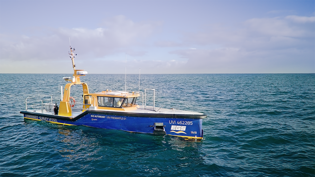
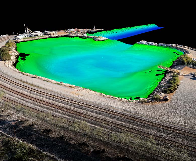
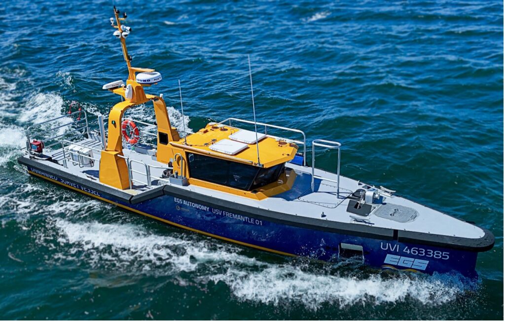
Fremantle, Western Australia, 06/02/2026 EGS Australia have successfully completed cable route survey operations off the coast of Western Australia on behalf of OMS Group, a world-leader in integrated telecommunications infrastructure. “Completing EGS’ first survey for cable route purposes using an Uncrewed Vessel is an exciting milestone. USV Fremantle 01 made short work of the challenging …
EGS Australia and OMS Group complete uncrewed cable route survey operations Read More »